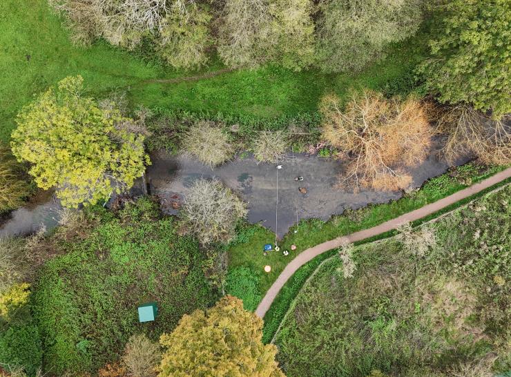
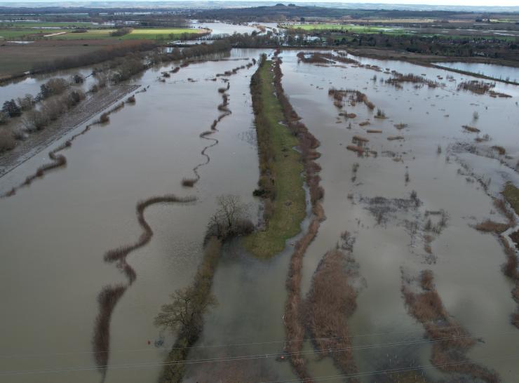
Whole-system river monitoring for flood and drought resilience 

We’re deploying advanced monitoring equipment in three strategically important locations across England, Scotland and Wales. Equipment will monitor an entire catchment: the area of land where water from different sources feed into the river.

This cutting-edge monitoring will deliver vital near real-time, long-term data on rivers to the FDRI digital platform, providing a whole-system picture of the water cycle to researchers and practitioners. 

What is FDRI monitoring - and where?

Learn about our catchments

Get involved

Q&A

What is FDRI monitoring?

The equipment going into each catchment depends on local characteristics, existing monitoring and science knowledge gaps we need to fill. Alongside our original consultation of the hydrological community, our Catchment Champions are working locally and with experts across the country to put together a catchment monitoring design.

Examples of equipment that may be deployed include:

  • Rain gauges to record rainfall amount and intensity
  • Weather stations to measure air temperature, humidity, atmospheric pressure, rainfall, wind speed and direction
  • Boreholes and water level sensors to measure groundwater levels
  • Soil moisture sensors, monitoring daily soil moisture over an average of 12 hectares without instrumenting the whole field
  • Flow monitoring cameras to understand river flow speed

You can see photos of these here.

The data captured from FDRI monitoring efforts will enable a huge step change in hydrological research, providing insights on the whole water cycle in an integrated way, so we can better understand flood and drought processes. Learn more about the importance of gathering this data here.

What is whole-system monitoring and how will it increase the uK's resilience to floods and droughts?

Instead of focusing on a single measurement (such as flow velocity or rainfall), whole‑system monitoring tracks all key components of the water cycle within a catchment. This helps us understand how pressures in one part of the catchment affect the whole system, meaning we can better pinpoint the causes of flooding, drought and water quality problems. 

The equipment we're installing for whole-system monitoring will record near real-time, long-term data. This data will be available on FDRI’s open-source digital platform, helping researchers and industry improve hydrological models, which can support:

  • Flood and drought prediction
  • Early warning systems
  • Understanding and evidencing the impact of nature-based solutions on better water management

Learn more about how this data helps our resilience to floods and droughts here.

What is the timeline for installing equipment?

[new timeline graphic to be added - approved by Anna D and Jon]

Why and how were the chess, upper severn and upper tweed catchments chosen?

The Chess, Upper Severn and Upper Tweed were chosen because they offer nationally relevant, contrasting hydrological systems that allow the UK to build a whole‑system understanding of floods and droughts.

The FDRI team went through a structured, science-led decision making process to select these three catchments. They considered current monitoring coverage, national research gaps and catchment characterisation surveys.  

You can find out about each individual catchment on their dedicated pages [link here]

Stay in touch!

Sign up to the FDRI newsletter here to hear about events, project updates, training and funding opportunities
 

Image
Participants in the workshop work together on assembling an open hardware sensor