We are currently undertaking catchment characterisation and assessing the suitability of a range of sites to ensure that the FDRI instrumentation is in the most suitable locations to address science needs while taking into account practical considerations.
We will keep all communities and stakeholders up to date as we progress with this.
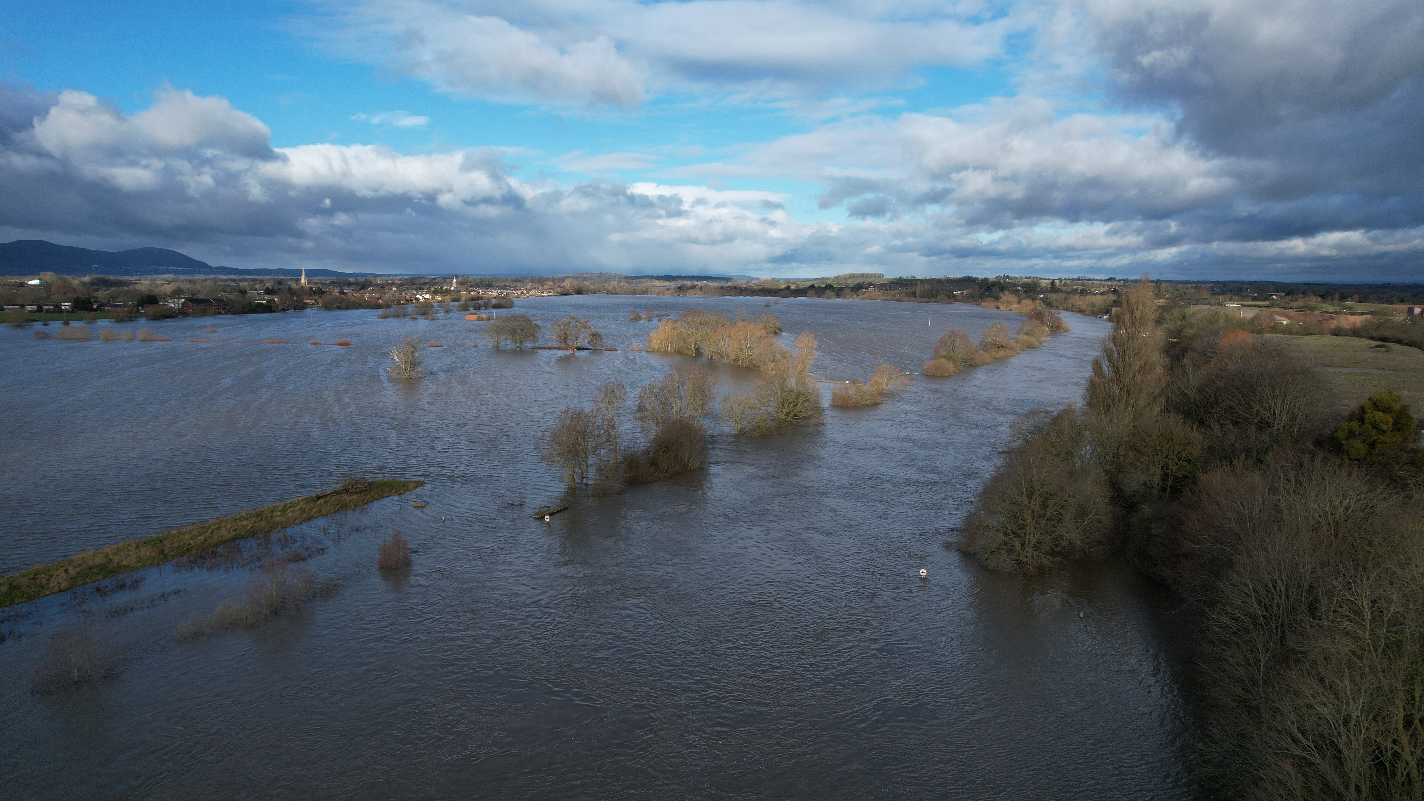
Upper Severn map
The map below, outlined in blue, shows the wider river catchment that the Upper Severn sits in. The red outline is the Upper Severn sub-catchment that we will be concentrating on.