Key features

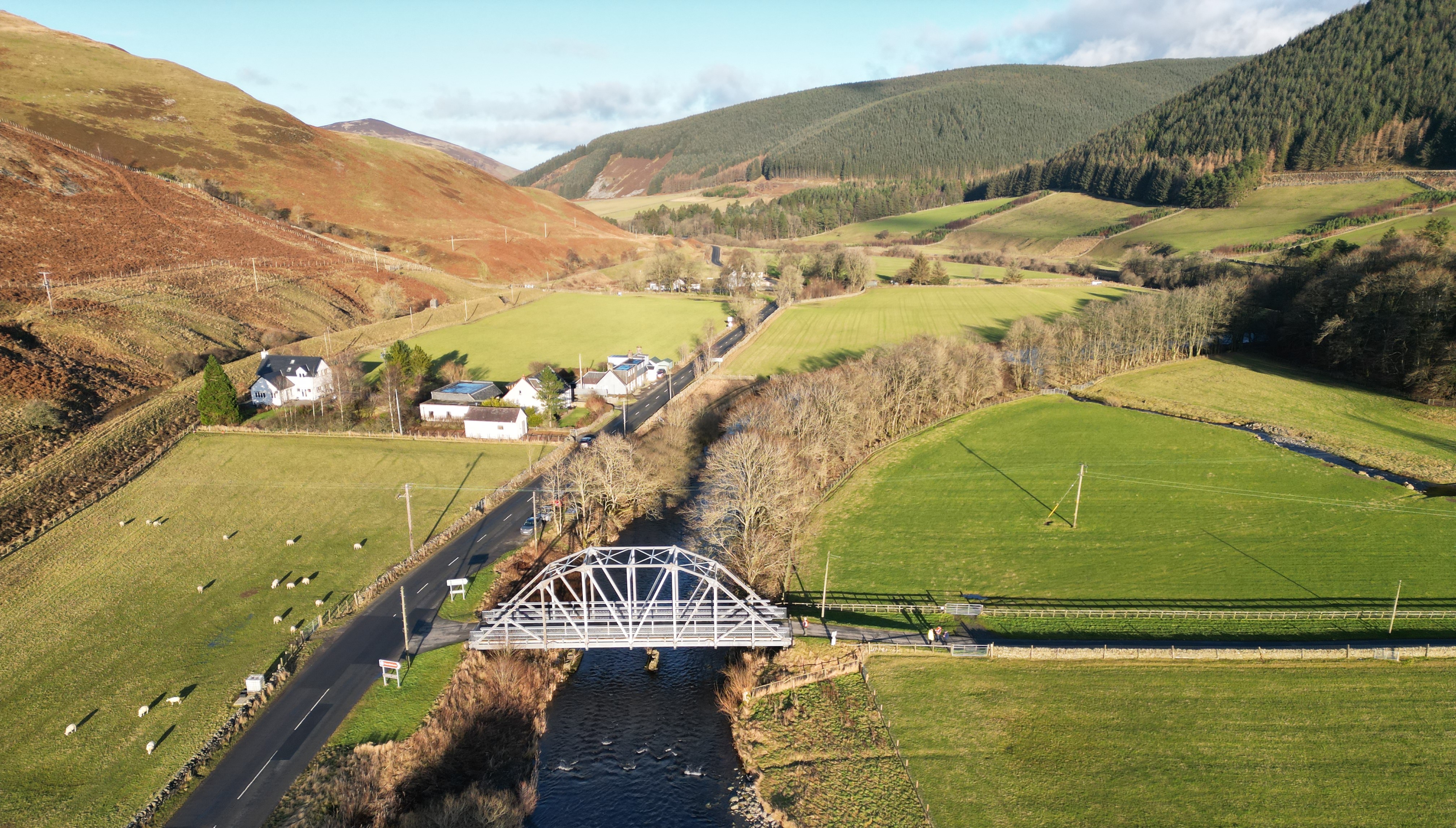
The Upper Tweed runs through a complex upland environment, with high elevation and varied land uses, including rewilding and carbon sequestration. This headwater also feeds into several drinking water reservoirs and has been increasingly subject to extensive flooding as well as periods of drought, affecting communities downstream.
Impact
Nationally significant data: Uplands form the headwaters of major UK river systems, dictating water quality, flooding and drought risk for millions of people downstream. FDRI monitoring in the Upper Tweed and Upper Severn will generate critical data to help researchers address major knowledge gaps in how water moves through these environments, which are becoming more flood and drought prone with climate change.
Building the UK's resilience to extremes: The research facilitated by FDRI in the Upper Tweed will give local authorities, national government, regulators and water companies the information and models they need to make better, more timely decisions: protecting communities and improving water security.
What are we working on?
- Building a perceptual model: a 3D image to understand how water moves through the catchment.
- Creating a catchment monitoring design: using the perceptual model and consultation with landowners, the wider community and researchers to establish what we should be monitoring, and where.
- Installing monitoring equipment: working with local landowners to put low-profile equipment in place on suitable sites.
Upper Tweed Map
The map below, outlined in blue, shows the wider river catchment that the Upper Tweed sits in. The red outline is the Upper Tweed sub-catchment that we will be concentrating on.


