Why monitor the Chess?

Key features
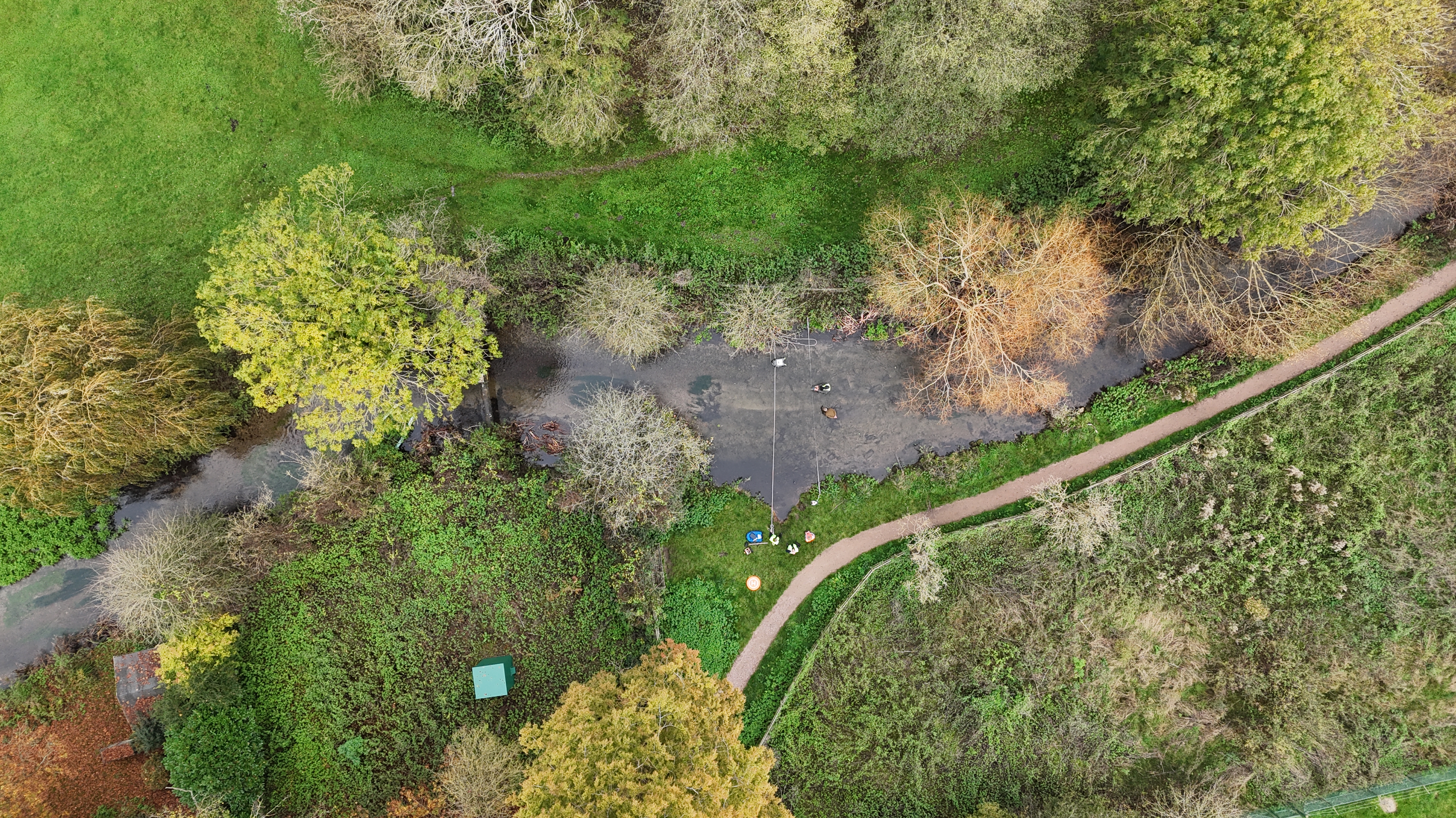
The River Chess is a 105 km2 lowland catchment that drains the rolling Chiltern Hills to the northwest of London, in the southeast of the UK.
A tributary of the River Thames basin, the Chess was chosen due to its representation of the warmer, drier and low-lying southeast region of the UK, widespread underlying permeable geology and the impacts of human influences in the catchment (land-use and water management).
The Chess’ active citizen scientists have been another key draw to this catchment, providing a highly engaged community who can also benefit from local hydrological data.
Impact
Nationally significant data: FDRI's work in the Chess will build an evidence base to help researchers better understand flooding, drought and the impacts of groundwater abstraction locally as well as across the 283 globally rare chalk streams in the UK.
Building the UK's resilience to extremes: The research facilitated by FDRI will give local authorities, national government, regulators and water companies the information and models they need to make better, more timely decisions on floods and droughts.
Current work in the Chess
- Building a perceptual model: collating all hydrological information for and understanding of the catchment, to establish a fuller picture of catchment functioning.
- Creating a catchment monitoring design: using the perceptual model and consultation with landowners, the wider community and researchers to establish what we should be monitoring, and where.
- Installing monitoring equipment: working with local landowners to put monitoring equipment in place on suitable sites.


