Key features
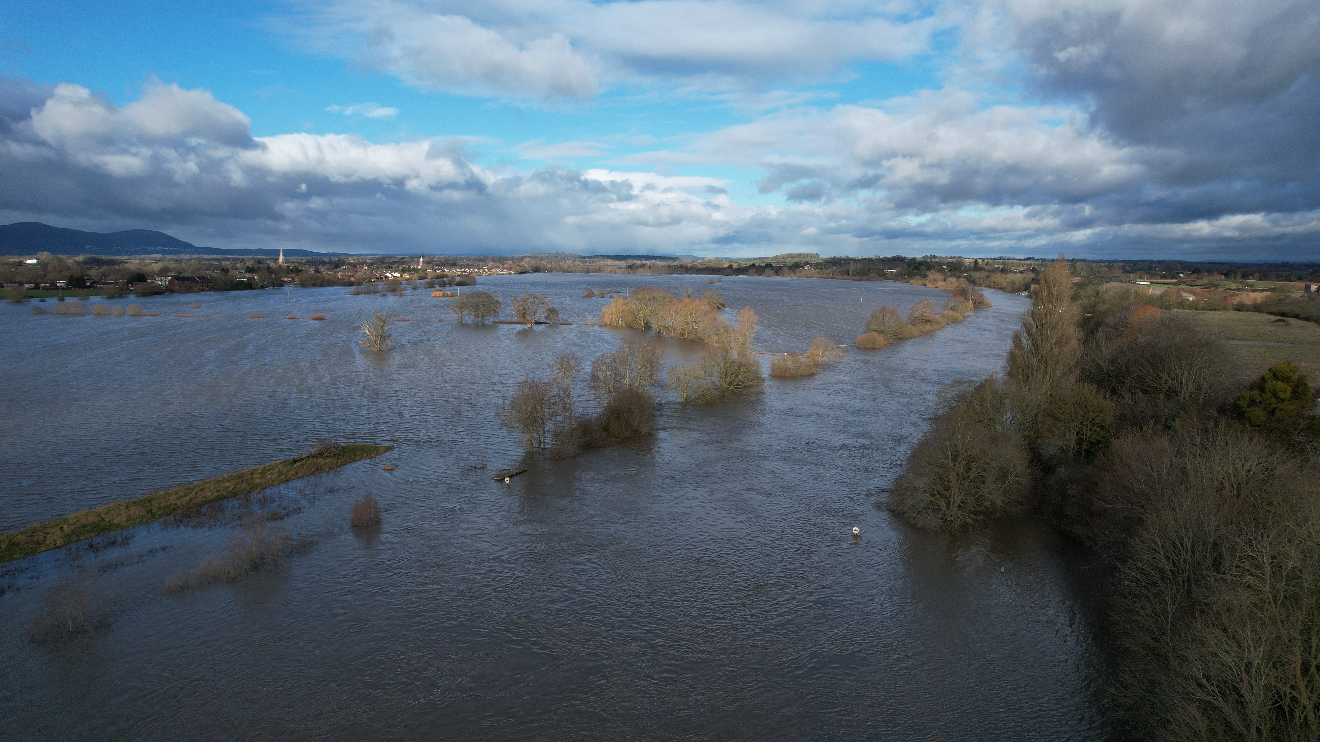
The source of Britain’s longest river, the Upper Severn is set in a varied catchment containing the Cambrian Mountains, coniferous plantations, livestock, rare peatland bogs and feeding a vital drinking water reservoir.
Scientific priorities for monitoring
- Increasing the spatial and temporal resolution that we monitor and model flow extremes
- Improving hydrological models via better process representation, including water source and flow path dynamics
- Closing the water balance in humid, mixed landcover, upland catchments
Impact

Nationally significant data: Uplands form the headwaters of major UK river systems, dictating water quality, flooding and drought risk for millions of people downstream. FDRI monitoring in the Upper Severn and Upper Tweed will generate critical data to help researchers address major knowledge gaps in how water moves through these environments, which are becoming more flood and drought prone with climate change. Existing UKCEH monitoring in the Severn catchment will provide a historical record to better understand how hydrological processes are responding to climate change over the long-term.
Building the UK's resilience to extremes: The research facilitated by FDRI in the Upper Severn will give local authorities, national government, regulators, and water companies the information and models they need to make better, more timely decisions: protecting communities and improving water security.
What are we working on?
- Building a perceptual model: collating all hydrological information for and understanding of the catchment, to establish a fuller picture of catchment functioning.
- Creating a catchment monitoring design: using the perceptual model and consultation with landowners, the wider community and researchers to establish what we should be monitoring, and where.
- Installing monitoring equipment: working with local landowners to put monitoring equipment in place on suitable sites.
Upper Severn Map
The map below, outlined in blue, shows the wider river catchment that the Upper Severn sits in. The red outline is the Upper Severn sub-catchment that we will be concentrating on.


