Are you are landowner based in the Upper Tweed, Upper Severn or Chess areas? We are inviting landowners in areas of hydrological interest to host FDRI monitoring equipment. You'll get access to useful insights about your land, from soil moisture levels to precipitation, whilst helping the UK better prepare for floods and droughts.
Image
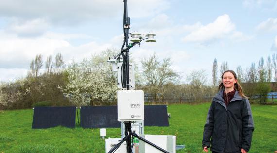
Access valuable data and help improve resilience to extreme weather
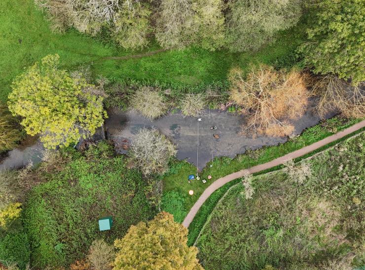
The Chess
This catchment area follows the River Chess through Chesham.
The Upper Severn
This catchment area follows the source of the Severn down to Cnych Wood.
The Upper Tweed
This catchment area follows the Tweed from Kingledores to Annahead Hill