The UK Centre for Ecology and Hydrology (UKCEH) and British Geological Survey (BGS) worked together to conduct surveys of the Chess catchment in October and December 2024. The surveys of the river and adjacent areas from Latimer to Chenies will help the FDRI project better understand the geophysical and hydrological features of the river.
The surveys included:
- Electromagnetic Terrain Conductivity Survey - 2 people walk slowly in the river and along the river bank with a long horizontal probe and a GPS. This data will map features below the surface.
- Electrical Resistivity Tomography Survey – a small team of 3-5 people set up a line (100m-300m) on the ground, temporarily inserting small 20 cm probes into the soil surface. This data will map features below the surface.
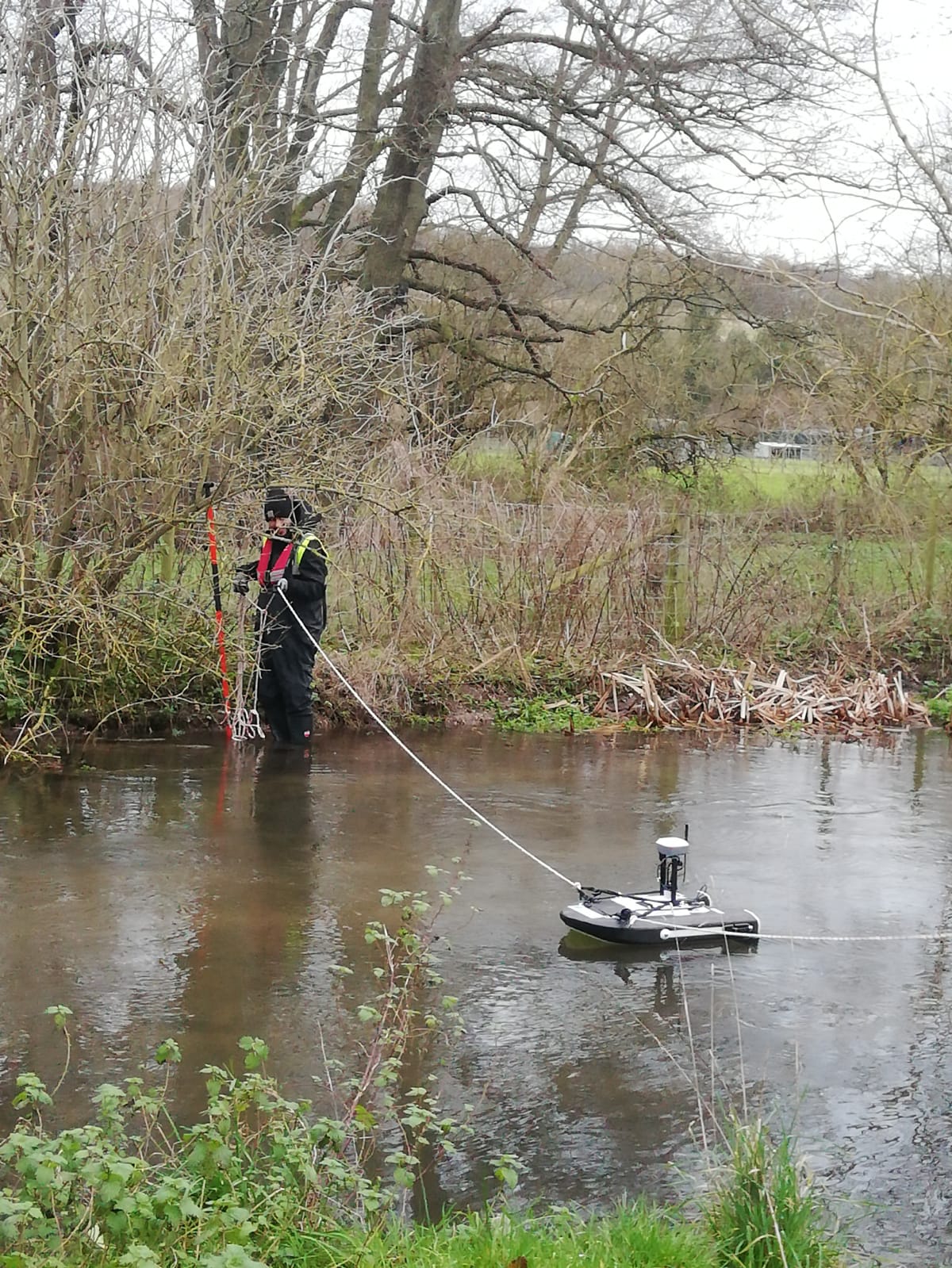
- Flow monitoring activities - a very small float with a sensor onboard is placed on the river and remotely controlled by people on the river bank. It will measure the water level and how fast it is flowing.
Surveys are ongoing to ensure any gaps in the data are filled. The data collected from these surveys will be analysed and then fed into the design of our perceptual model and catchment monitoring.